What residents and visitors are searching for most.
Volunteers of all ages are invited to the Mighty Mississippi River Cleanup Challenge on Saturday, April 20, from 10 a.m. to 12 p.m. at Battle Creek Regional Park.
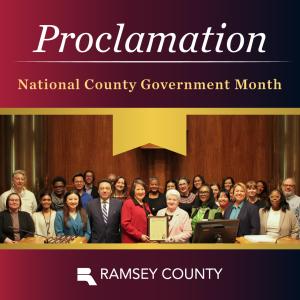
Ramsey County joins the National Association of Counties in proclaiming April 2024 as National County Government Month.
Tour Union Depot to learn about the history, renovations, sustainability initiatives, expanding transit options and more.
Youth Job and Resource Fair is coming to the Maplewood Mall. Local employers are eager to meet youth ages 15-18!
Save the date for the Mississippi River Clean-Up event set to take place on Saturday, April 20, from 10 a.m. to 12 p.m. at Battle Creek Regional Park.